
Vikøyri topographic map
Interactive map
Click on the map to display elevation.
About this map
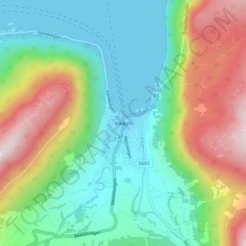
Name: Vikøyri topographic map, elevation, terrain.
Location: Vikøyri, Vik, Vestland, Norwegen (61.06741 6.56040 61.10741 6.60040)
Average elevation: 240 m
Minimum elevation: 0 m
Maximum elevation: 721 m
Other topographic maps
Click on a map to view its topography, its elevation and its terrain.