
Swamp topographic map
Interactive map
Click on the map to display elevation.
About this map
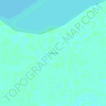
Name: Swamp topographic map, elevation, terrain.
Location: Swamp, Masaka, Central Region, Uganda (-0.42058 31.87537 -0.38058 31.91537)
Average elevation: 1,139 m
Minimum elevation: 1,136 m
Maximum elevation: 1,143 m
Other topographic maps
Click on a map to view its topography, its elevation and its terrain.