
Hunga Tonga topographic map
Interactive map
Click on the map to display elevation.
About this map
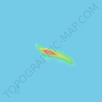
Name: Hunga Tonga topographic map, elevation, terrain.
Location: Hunga Tonga, Haʻapai, Tonga (-20.53613 -175.38324 -20.53490 -175.38020)
Average elevation: 2 m
Minimum elevation: -1 m
Maximum elevation: 135 m
Other topographic maps
Click on a map to view its topography, its elevation and its terrain.