
Melinggih topographic map
Interactive map
Click on the map to display elevation.
About this map
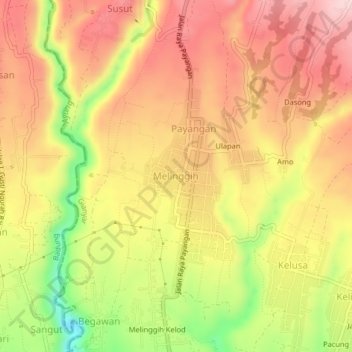
Name: Melinggih topographic map, elevation, terrain.
Location: Melinggih, Gianyar, Bali, 80561, Indonesia (-8.45065 115.22346 -8.41065 115.26346)
Average elevation: 408 m
Minimum elevation: 254 m
Maximum elevation: 510 m
Other topographic maps
Click on a map to view its topography, its elevation and its terrain.