
Lodtunduh topographic map
Interactive map
Click on the map to display elevation.
About this map
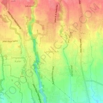
Name: Lodtunduh topographic map, elevation, terrain.
Location: Lodtunduh, Ubud, Gianyar, Bali, 80571, Indonesia (-8.57216 115.24083 -8.53216 115.28083)
Average elevation: 131 m
Minimum elevation: 84 m
Maximum elevation: 167 m
Other topographic maps
Click on a map to view its topography, its elevation and its terrain.