
Conthey topographic map
Interactive map
Click on the map to display elevation.
About this map
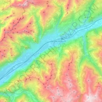
Name: Conthey topographic map, elevation, terrain.
Location: Conthey, Vallés, 1964, Suiza (46.06054 7.13037 46.31640 7.36854)
Average elevation: 1,601 m
Minimum elevation: 456 m
Maximum elevation: 3,464 m
Other topographic maps
Click on a map to view its topography, its elevation and its terrain.
Les Marécottes
Suiza > Vallés > Saint-Maurice
Les Marécottes, Salvan, Saint-Maurice, Vallés, 1923, Suiza
Average elevation: 1,354 m