
Rotorua District topographic map
Interactive map
Click on the map to display elevation.
About this map
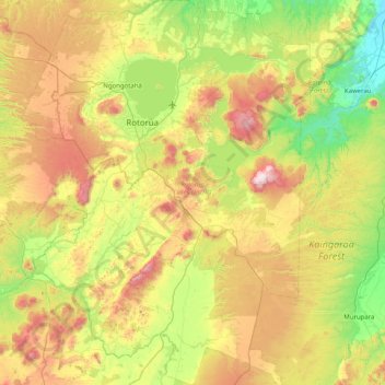
Name: Rotorua District topographic map, elevation, terrain.
Location: Rotorua District, Bay of Plenty, New Zealand (-38.56870 175.98175 -37.93696 176.61517)
Average elevation: 404 m
Minimum elevation: 5 m
Maximum elevation: 1,089 m
Other topographic maps
Click on a map to view its topography, its elevation and its terrain.