
Heath Hill topographic map
Interactive map
Click on the map to display elevation.
About this map
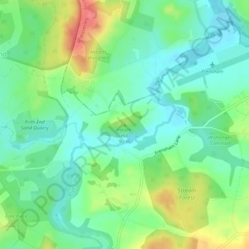
Name: Heath Hill topographic map, elevation, terrain.
Average elevation: 79 m
Minimum elevation: 56 m
Maximum elevation: 123 m
Other topographic maps
Click on a map to view its topography, its elevation and its terrain.
Selborne
United Kingdom > England > Hampshire > East Hampshire
Selborne, East Hampshire, Hampshire, England, United Kingdom
Average elevation: 119 m