
Opalton topographic map
Interactive map
Click on the map to display elevation.
About this map
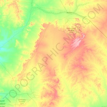
Name: Opalton topographic map, elevation, terrain.
Location: Opalton, Winton Shire, Queensland, 4735, Australia (-23.70632 141.45581 -22.33343 143.25360)
Average elevation: 214 m
Minimum elevation: 127 m
Maximum elevation: 392 m
Other topographic maps
Click on a map to view its topography, its elevation and its terrain.