
서패동 topographic map
Interactive map
Click on the map to display elevation.
About this map
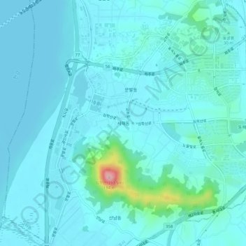
Name: 서패동 topographic map, elevation, terrain.
Location: 서패동, Paju, Gyeonggi, 10883, Corée du Sud (37.69561 126.67858 37.73561 126.71858)
Average elevation: 20 m
Minimum elevation: 0 m
Maximum elevation: 180 m
Other topographic maps
Click on a map to view its topography, its elevation and its terrain.