
南湖 topographic map
Interactive map
Click on the map to display elevation.
About this map
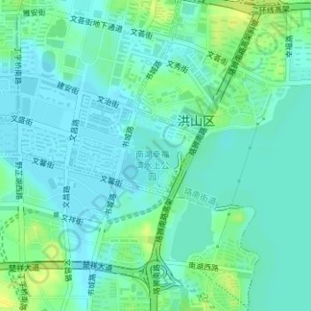
Name: 南湖 topographic map, elevation, terrain.
Location: 南湖, 洪山街道, 洪山区, 武汉市, 湖北省, 中国 (30.49704 114.33034 30.50221 114.33676)
Average elevation: 20 m
Minimum elevation: 14 m
Maximum elevation: 33 m
Other topographic maps
Click on a map to view its topography, its elevation and its terrain.