
严东湖 topographic map
Interactive map
Click on the map to display elevation.
About this map
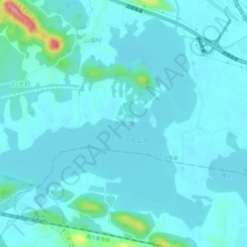
Name: 严东湖 topographic map, elevation, terrain.
Location: 严东湖, 洪山区, 武汉市, 湖北省, 中国 (30.52500 114.52412 30.55807 114.56875)
Average elevation: 27 m
Minimum elevation: 13 m
Maximum elevation: 138 m
Other topographic maps
Click on a map to view its topography, its elevation and its terrain.