Geolocate

Kianda topographic map

Click on the map to display elevation.

About this map

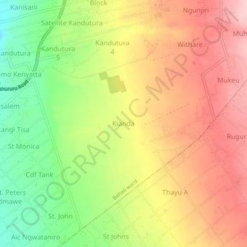
Name: Kianda topographic map, elevation, terrain.

Location: Kianda, Bahati ward, Bahati, Nakuru, Rift Valley, Kenya (-0.19570 36.13079 -0.15570 36.17079)

Average elevation: 2,062 m

Minimum elevation: 1,947 m

Maximum elevation: 2,162 m

Gear up for your next adventure:

🥾Hiking Shoes - Lightweight hiking shoes for day hikes
🔭Compact Hiking Binoculars - Lightweight optics for scouting routes or birdwatching
🕶️Polarized Outdoor Sunglasses - Reduce glare from rocks and water for better visual navigation
🎨Portable Watercolor Kits - Paint the landscapes and topographic views you discover
🪢550 Survival Paracord - Versatile cordage for gear repair and emergency lashing

As an Amazon Associate, this site earns from qualifying purchases at no extra cost to you.