
Luwunga topographic map
Interactive map
Click on the map to display elevation.
About this map
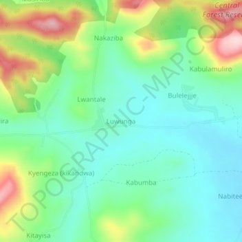
Name: Luwunga topographic map, elevation, terrain.
Location: Luwunga, Mityana, Central Region, Uganda (0.63800 32.11512 0.67800 32.15512)
Average elevation: 1,172 m
Minimum elevation: 1,095 m
Maximum elevation: 1,341 m
Other topographic maps
Click on a map to view its topography, its elevation and its terrain.