
青云街道 topographic map
Interactive map
Click on the map to display elevation.
About this map
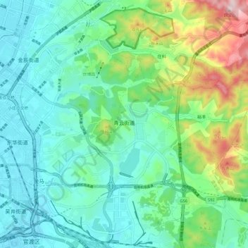
Name: 青云街道 topographic map, elevation, terrain.
Location: 青云街道, 盘龙区, 昆明市, 云南省, 中国 (25.03038 102.73816 25.09432 102.84224)
Average elevation: 1,990 m
Minimum elevation: 1,890 m
Maximum elevation: 2,294 m
Other topographic maps
Click on a map to view its topography, its elevation and its terrain.