
寻甸回族彝族自治县 topographic map
Interactive map
Click on the map to display elevation.
About this map
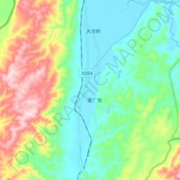
Name: 寻甸回族彝族自治县 topographic map, elevation, terrain.
Location: 寻甸回族彝族自治县, 昆明市, 云南省, 中国, 牛栏江 (25.42007 103.25097 25.53366 103.30517)
Average elevation: 2,007 m
Minimum elevation: 1,860 m
Maximum elevation: 2,351 m
Other topographic maps
Click on a map to view its topography, its elevation and its terrain.