
Onder topographic map
Interactive map
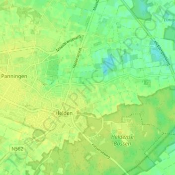
Click on the map to display elevation.
About this map
Name: Onder topographic map, elevation, terrain.
Average elevation: 33 m
Minimum elevation: 23 m
Maximum elevation: 38 m
Other topographic maps
Click on a map to view its topography, its elevation and its terrain.
Heldense Bossen
Heldense Bossen, Helden, Peel en Maas, Limburg, Nederland
Average elevation: 32 m