
Heldense Bossen topographic map
Interactive map
Click on the map to display elevation.
About this map
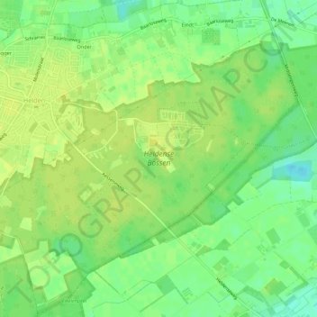
Name: Heldense Bossen topographic map, elevation, terrain.
Location: Heldense Bossen, Helden, Peel en Maas, Limburg, Nederland (51.30180 5.99123 51.32640 6.04540)
Average elevation: 32 m
Minimum elevation: 21 m
Maximum elevation: 38 m
Other topographic maps
Click on a map to view its topography, its elevation and its terrain.