
Sauvenière topographic map
Interactive map
Click on the map to display elevation.
About this map
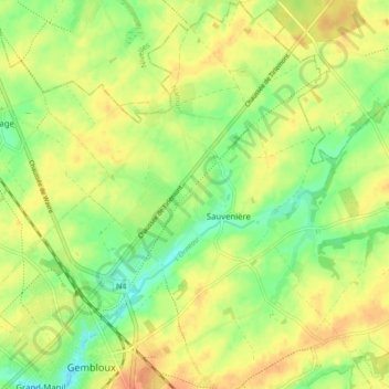
Name: Sauvenière topographic map, elevation, terrain.
Location: Sauvenière, Gembloux, Namur, Wallonie, Belgique (50.55654 4.68375 50.61146 4.74967)
Average elevation: 159 m
Minimum elevation: 138 m
Maximum elevation: 177 m
Other topographic maps
Click on a map to view its topography, its elevation and its terrain.