Geolocate

Redan topographic map

Click on the map to display elevation.

About this map

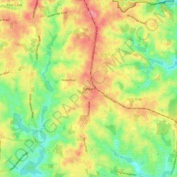
Name: Redan topographic map, elevation, terrain.

Location: Redan, DeKalb County, Georgia, 30088-3433, United States (33.71588 -84.20553 33.79588 -84.12553)

Average elevation: 283 m

Minimum elevation: 240 m

Maximum elevation: 328 m

Gear up for your next adventure:

📷Backpack Camera Clips - Quick access to your camera while keeping your hands free for climbing
🧦Merino Wool Hiking Socks - Moisture-wicking socks to prevent blisters during long topographic surveys
🍳Camping Cookware - Cookware sets for outdoor meals
🕯️Emergency Whistles - Safety whistles for hiking
📖Australian Bush Survival Books - Local knowledge on finding water and surviving the outback

As an Amazon Associate, this site earns from qualifying purchases at no extra cost to you.