
Arroyo Porongos topographic map
Interactive map
Click on the map to display elevation.
About this map
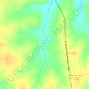
Name: Arroyo Porongos topographic map, elevation, terrain.
Location: Arroyo Porongos, Flores, Uruguay (-33.73076 -56.81686 -33.69831 -56.80796)
Average elevation: 151 m
Minimum elevation: 133 m
Maximum elevation: 166 m
Other topographic maps
Click on a map to view its topography, its elevation and its terrain.