
Cedar Vale topographic map
Interactive map
Click on the map to display elevation.
About this map
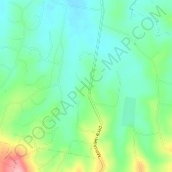
Name: Cedar Vale topographic map, elevation, terrain.
Location: Cedar Vale, Jimboomba, Queensland, Australia (-27.88972 153.00500 -27.86972 153.02500)
Average elevation: 78 m
Minimum elevation: 38 m
Maximum elevation: 174 m