
Ölgii topographic map
Interactive map
Click on the map to display elevation.
About this map
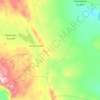
Name: Ölgii topographic map, elevation, terrain.
Location: Ölgii, Uws, Mongolei (48.58826 91.92554 49.40419 92.67469)
Average elevation: 1,579 m
Minimum elevation: 1,022 m
Maximum elevation: 3,338 m
Other topographic maps
Click on a map to view its topography, its elevation and its terrain.