
Chjargas Nuur topographic map
Interactive map
Click on the map to display elevation.
About this map
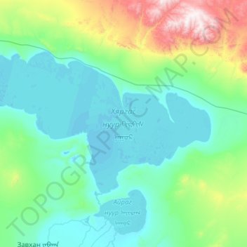
Name: Chjargas Nuur topographic map, elevation, terrain.
Location: Chjargas Nuur, Zavkhan, Uws, Mongolei (48.94927 92.79829 49.34215 93.80733)
Average elevation: 1,249 m
Minimum elevation: 1,029 m
Maximum elevation: 2,584 m
Other topographic maps
Click on a map to view its topography, its elevation and its terrain.