
Kasambya topographic map
Interactive map
Click on the map to display elevation.
About this map
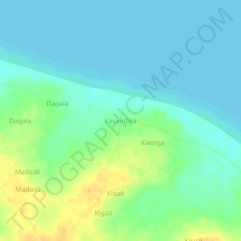
Name: Kasambya topographic map, elevation, terrain.
Location: Kasambya, Nakasongola, Central Region, Uganda (1.34667 32.64667 1.38667 32.68667)
Average elevation: 1,040 m
Minimum elevation: 1,031 m
Maximum elevation: 1,058 m
Other topographic maps
Click on a map to view its topography, its elevation and its terrain.