
Bulwandi topographic map
Interactive map
Click on the map to display elevation.
About this map
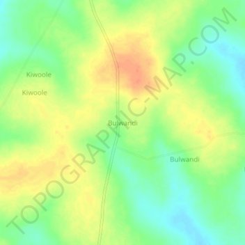
Name: Bulwandi topographic map, elevation, terrain.
Location: Bulwandi, Nakasongola, Central Region, Uganda (1.15425 32.72406 1.19425 32.76406)
Average elevation: 1,068 m
Minimum elevation: 1,047 m
Maximum elevation: 1,089 m
Other topographic maps
Click on a map to view its topography, its elevation and its terrain.