
Logandale topographic map
Interactive map
Click on the map to display elevation.
About this map
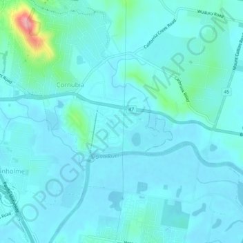
Name: Logandale topographic map, elevation, terrain.
Location: Logandale, Queensland, 4130, Australia (-27.69492 153.19098 -27.65492 153.23098)
Average elevation: 15 m
Minimum elevation: 0 m
Maximum elevation: 126 m
Other topographic maps
Click on a map to view its topography, its elevation and its terrain.
Venman Bushland National Park
Australia > Queensland > Logandale
Venman Bushland National Park, Iris Track, Shailer Park, Logandale, Queensland, 4128, Australia
Average elevation: 99 m