
Wetland topographic map
Interactive map
Click on the map to display elevation.
About this map
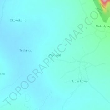
Name: Wetland topographic map, elevation, terrain.
Location: Wetland, Otuke, Northern Region, Uganda (2.50023 33.51658 2.54023 33.55658)
Average elevation: 1,076 m
Minimum elevation: 1,053 m
Maximum elevation: 1,265 m
Other topographic maps
Click on a map to view its topography, its elevation and its terrain.