
Phonthong District topographic map
Interactive map
Click on the map to display elevation.
About this map
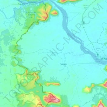
Name: Phonthong District topographic map, elevation, terrain.
Location: Phonthong District, Champasak Province, Laos (14.94559 105.46654 15.33245 105.86200)
Average elevation: 157 m
Minimum elevation: 88 m
Maximum elevation: 827 m
Other topographic maps
Click on a map to view its topography, its elevation and its terrain.
Bachiangchaleunsouk District
Bachiangchaleunsouk District, Champasak Province, Laos
Average elevation: 394 m
Khone Phapheng Falls
Khone Phapheng Falls, Khong District, Champasak Province, Laos
Average elevation: 74 m