
Bachiangchaleunsouk District topographic map
Interactive map
Click on the map to display elevation.
About this map
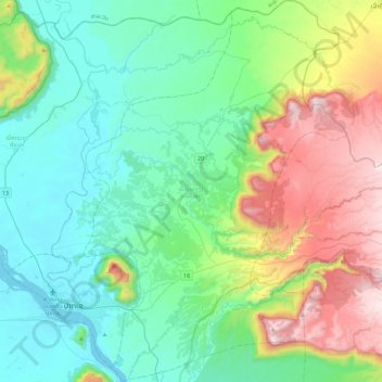
Name: Bachiangchaleunsouk District topographic map, elevation, terrain.
Location: Bachiangchaleunsouk District, Champasak Province, Laos (15.03289 105.81562 15.47013 106.12961)
Average elevation: 394 m
Minimum elevation: 88 m
Maximum elevation: 1,239 m
Other topographic maps
Click on a map to view its topography, its elevation and its terrain.
Khone Phapheng Falls
Khone Phapheng Falls, Khong District, Champasak Province, Laos
Average elevation: 74 m
Phonthong District
Phonthong District, Champasak Province, Laos
Average elevation: 157 m