
甘棠河 topographic map
Interactive map
Click on the map to display elevation.
About this map
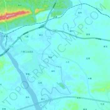
Name: 甘棠河 topographic map, elevation, terrain.
Location: 甘棠河, 南宁市, 广西壮族自治区, 中国 (22.81321 108.91076 22.91176 108.95178)
Average elevation: 90 m
Minimum elevation: 59 m
Maximum elevation: 368 m
Other topographic maps
Click on a map to view its topography, its elevation and its terrain.