
宾阳县 topographic map
Interactive map
Click on the map to display elevation.
About this map
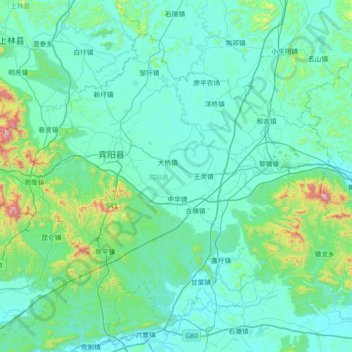
Name: 宾阳县 topographic map, elevation, terrain.
Location: 宾阳县, 南宁市, 广西壮族自治区, 中国 (22.90582 108.53432 23.44874 109.25582)
Average elevation: 171 m
Minimum elevation: 61 m
Maximum elevation: 1,104 m
Other topographic maps
Click on a map to view its topography, its elevation and its terrain.