
Stange topographic map
Interactive map
Click on the map to display elevation.
About this map
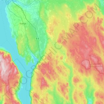
Name: Stange topographic map, elevation, terrain.
Location: Stange, Innlandet, Noorwegen (60.45880 11.02778 60.79226 11.65435)
Average elevation: 329 m
Minimum elevation: 117 m
Maximum elevation: 736 m
Other topographic maps
Click on a map to view its topography, its elevation and its terrain.