
Åsnes topographic map
Interactive map
Click on the map to display elevation.
About this map
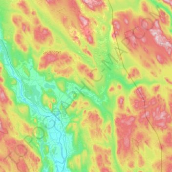
Name: Åsnes topographic map, elevation, terrain.
Location: Åsnes, Innlandet, Noorwegen (60.47160 11.64134 60.89083 12.59829)
Average elevation: 349 m
Minimum elevation: 146 m
Maximum elevation: 685 m
Other topographic maps
Click on a map to view its topography, its elevation and its terrain.