
Sungai Bidor topographic map
Interactive map
Click on the map to display elevation.
About this map
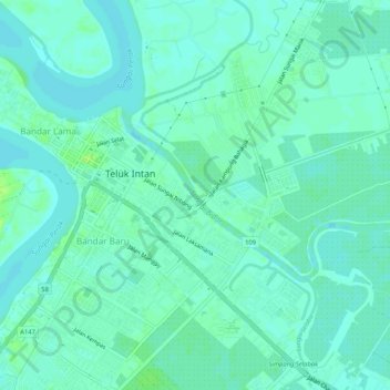
Name: Sungai Bidor topographic map, elevation, terrain.
Average elevation: 4 m
Minimum elevation: -3 m
Maximum elevation: 12 m
Other topographic maps
Click on a map to view its topography, its elevation and its terrain.
Batang Padang River
Malaysia > Perak > Teluk Intan
Batang Padang River, Teluk Intan, Perak, 35000, Malaysia
Average elevation: 19 m
Sungai Sungkai
Malaysia > Perak > Teluk Intan
Sungai Sungkai, Teluk Intan, Perak, Malaysia
Average elevation: 26 m