
河东街道 topographic map
Interactive map
Click on the map to display elevation.
About this map
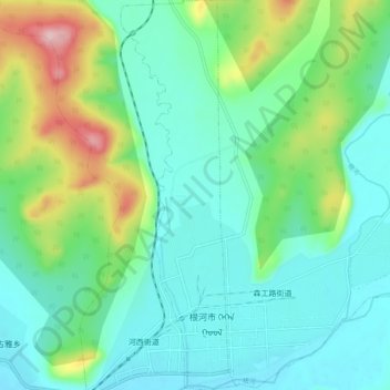
Name: 河东街道 topographic map, elevation, terrain.
Location: 河东街道, 根河市, 呼伦贝尔市, 内蒙古自治区, 中国 (50.77003 121.50097 50.83541 121.53156)
Average elevation: 759 m
Minimum elevation: 705 m
Maximum elevation: 920 m
Other topographic maps
Click on a map to view its topography, its elevation and its terrain.