
Nawaikoke Township topographic map
Interactive map
Click on the map to display elevation.
About this map
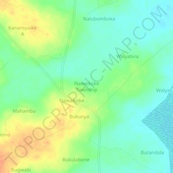
Name: Nawaikoke Township topographic map, elevation, terrain.
Location: Nawaikoke Township, Kaliro, Eastern Region, Uganda (1.07303 33.39114 1.11303 33.43114)
Average elevation: 1,049 m
Minimum elevation: 1,033 m
Maximum elevation: 1,072 m
Other topographic maps
Click on a map to view its topography, its elevation and its terrain.