
Buseruka topographic map
Interactive map
Click on the map to display elevation.
About this map
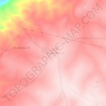
Name: Buseruka topographic map, elevation, terrain.
Location: Buseruka, Hoima, Western Region, Uganda (1.52737 31.11648 1.56737 31.15648)
Average elevation: 1,013 m
Minimum elevation: 681 m
Maximum elevation: 1,075 m
Other topographic maps
Click on a map to view its topography, its elevation and its terrain.
Lake Albert
Lake Albert, Hoima, Western Region, Uganda
Average elevation: 1,076 m
Mukarange;Block 84
Uganda > Hoima > Mukarange;Block 84
Mukarange;Block 84, Hoima, Western Region, Uganda
Average elevation: 1,130 m