
Curtis Island topographic map
Interactive map
Click on the map to display elevation.
About this map
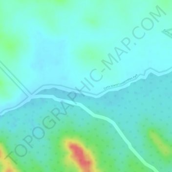
Name: Curtis Island topographic map, elevation, terrain.
Location: Curtis Island, Gladstone, Queensland, Australia (-23.62694 151.14306 -23.60694 151.16306)
Average elevation: 28 m
Minimum elevation: 13 m
Maximum elevation: 82 m
Queensland trails, hiking, mountain biking, running and outdoor activities
Other topographic maps
Click on a map to view its topography, its elevation and its terrain.