
Lauen topographic map
Interactive map
Click on the map to display elevation.
About this map
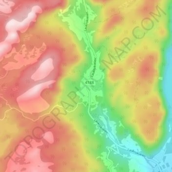
Name: Lauen topographic map, elevation, terrain.
Location: Lauen, Hægebostad, Agder, Norwegen (58.38168 7.16284 58.42168 7.20284)
Average elevation: 397 m
Minimum elevation: 168 m
Maximum elevation: 598 m
Other topographic maps
Click on a map to view its topography, its elevation and its terrain.