
Glenlea topographic map
Interactive map
Click on the map to display elevation.
About this map
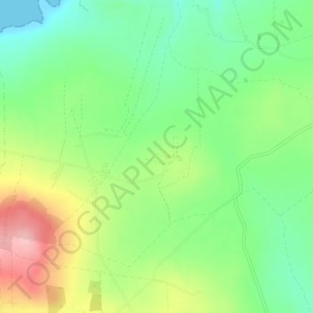
Name: Glenlea topographic map, elevation, terrain.
Average elevation: 60 m
Minimum elevation: 0 m
Maximum elevation: 156 m
Other topographic maps
Click on a map to view its topography, its elevation and its terrain.
Killarney
Killarney, Killarney Municipal District, County Kerry, Munster, Ireland
Average elevation: 57 m
Listowel Municipal District
Listowel Municipal District, County Kerry, Munster, Ireland
Average elevation: 67 m
Dingle
Dingle, Kenmare Municipal District, County Kerry, Munster, Ireland
Average elevation: 121 m