
下埤頭 topographic map
Interactive map
Click on the map to display elevation.
About this map
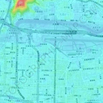
Name: 下埤頭 topographic map, elevation, terrain.
Location: 下埤頭, Taipei, 10476, Taiwan (25.04516 121.52267 25.08516 121.56267)
Average elevation: 12 m
Minimum elevation: -9 m
Maximum elevation: 137 m
Other topographic maps
Click on a map to view its topography, its elevation and its terrain.