
Jochiwon-eup topographic map
Interactive map
Click on the map to display elevation.
About this map
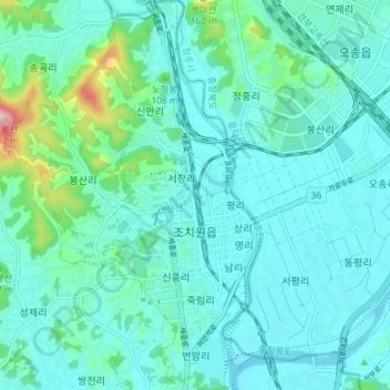
Name: Jochiwon-eup topographic map, elevation, terrain.
Location: Jochiwon-eup, Sejong, South Korea (36.57805 127.25842 36.63645 127.30659)
Average elevation: 49 m
Minimum elevation: 16 m
Maximum elevation: 230 m