
Карамырза topographic map
Interactive map
Click on the map to display elevation.
About this map
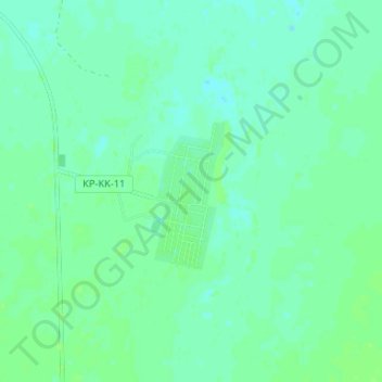
Name: Карамырза topographic map, elevation, terrain.
Location: Карамырза, Карасуский район, Костанайская область, Казахстан (52.52888 65.80341 52.56888 65.84341)
Average elevation: 209 m
Minimum elevation: 205 m
Maximum elevation: 214 m
Other topographic maps
Click on a map to view its topography, its elevation and its terrain.
Кошевое
Казахстан > Костанайская область > Карасуский район
Кошевое, Карасуский район, Костанайская область, Казахстан
Average elevation: 221 m