
Кошевое topographic map
Interactive map
Click on the map to display elevation.
About this map
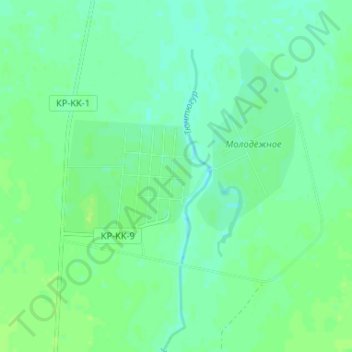
Name: Кошевое topographic map, elevation, terrain.
Location: Кошевое, Карасуский район, Костанайская область, Казахстан (52.37425 65.77080 52.41425 65.81080)
Average elevation: 221 m
Minimum elevation: 215 m
Maximum elevation: 226 m
Other topographic maps
Click on a map to view its topography, its elevation and its terrain.
Карамырза
Казахстан > Костанайская область > Карасуский район
Карамырза, Карасуский район, Костанайская область, Казахстан
Average elevation: 209 m