
双龙街道 topographic map
Interactive map
Click on the map to display elevation.
About this map
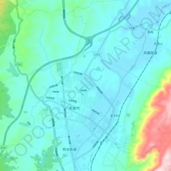
Name: 双龙街道 topographic map, elevation, terrain.
Location: 双龙街道, 宣威市, 曲靖市, 云南省, 中国 (26.19447 104.09228 26.29331 104.16926)
Average elevation: 2,050 m
Minimum elevation: 1,938 m
Maximum elevation: 2,657 m
Other topographic maps
Click on a map to view its topography, its elevation and its terrain.