
务德镇 topographic map
Interactive map
Click on the map to display elevation.
About this map
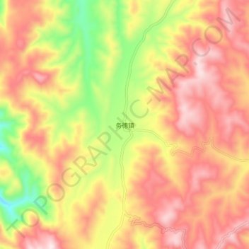
Name: 务德镇 topographic map, elevation, terrain.
Location: 务德镇, 宣威市, 曲靖市, 云南省, 中国 (26.22500 103.68000 26.30500 103.76000)
Average elevation: 2,064 m
Minimum elevation: 1,750 m
Maximum elevation: 2,294 m
Other topographic maps
Click on a map to view its topography, its elevation and its terrain.