
Louseiro topographic map
Interactive map
Click on the map to display elevation.
About this map
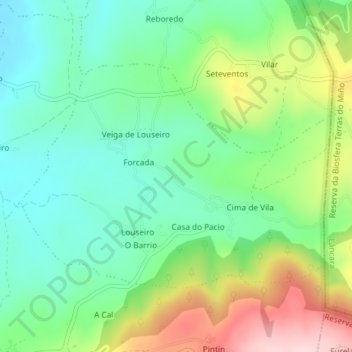
Name: Louseiro topographic map, elevation, terrain.
Location: Louseiro, Sarria, Lugo, Galicia, 27615, Spain (42.77881 -7.35997 42.79604 -7.32749)
Average elevation: 505 m
Minimum elevation: 416 m
Maximum elevation: 678 m
Other topographic maps
Click on a map to view its topography, its elevation and its terrain.