
Belante topographic map
Interactive map
Click on the map to display elevation.
About this map
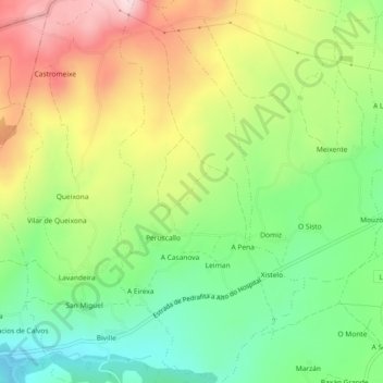
Name: Belante topographic map, elevation, terrain.
Location: Belante, Sarria, Lugo, Galicia, 27612, Spain (42.76805 -7.49873 42.80169 -7.47614)
Average elevation: 658 m
Minimum elevation: 520 m
Maximum elevation: 843 m
Other topographic maps
Click on a map to view its topography, its elevation and its terrain.