
Rakahanga topographic map
Interactive map
Click on the map to display elevation.
About this map
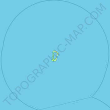
Name: Rakahanga topographic map, elevation, terrain.
Location: Rakahanga, Cook Islands (-10.23046 -161.30824 -9.79422 -160.87336)
Average elevation: 0 m
Minimum elevation: 0 m
Maximum elevation: 25 m
Other topographic maps
Click on a map to view its topography, its elevation and its terrain.
Manihiki
Cook Islands > Manihiki > Tukao
Manihiki, Tukao, Manihiki, Cook Islands
Average elevation: 1 m
Palmerston Island
Palmerston Island, Palmerston, Cook Islands
Average elevation: 0 m